Pricing Enhance Drone photo · Free

AI Drone Photo Enhancer

← Browse all enhance tools

Last updated

Clear the haze, richen the colour and level the horizon in your aerial shots by typing.
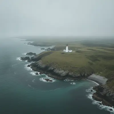
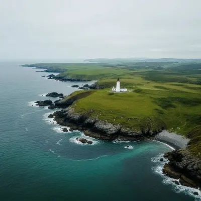
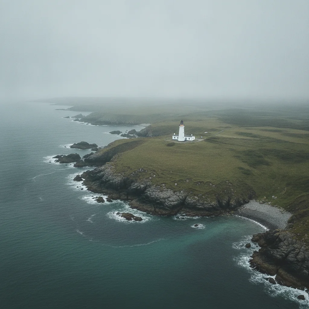
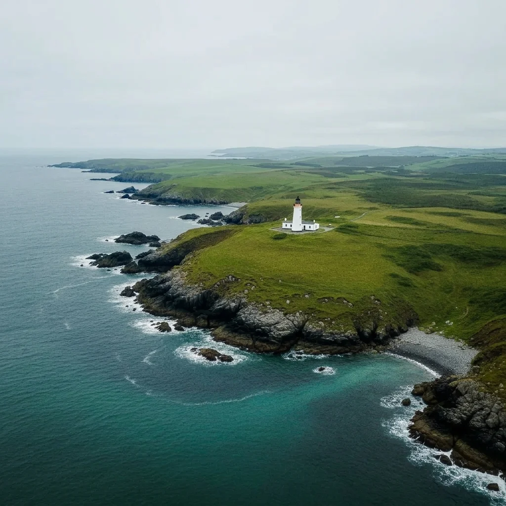
Aerial coast photo with heavy haze and flat colour Same coast with clearer air and richer greens and blues

Upload photo to enhance drone photo

"make the colours richer and more vibrant, deeper green fields and bluer water, keep the buildings and roads unchanged"

Free to try · no sign-up · never used for AI training

Release to upload

<30stypical edit
1 freeedit weekly
Photo on your phone? Scan to open this editor there — free edit works on your phone too.

1 free edit every week·paid packs after

How it works

  1. Upload your drone or aerial photo

    Choose a photo from your drone, a plane window or a high viewpoint. Landscapes, coastlines, roofs and fields work well. Photos with visible haze or a flat look gain the most. If the file has no sky, say so in your prompt.

    Expect: The AI improves what is in the frame. It does not change the real location, but results are AI generated, so compare with your original.
    Tip: If you shot several, pick the sharpest frame as your starting point.
  2. Describe what to improve

    Type the fixes in plain words: 'reduce the haze over the valley, make the greens and blues richer, straighten the tilted horizon and make the sky a deeper blue, keep the buildings and roads unchanged.' Name each problem you see. No marking required.

    Tip: Mention what to keep, such as roads, roofs and the shoreline. It stops the AI from changing landmarks.

    Copy one of these to get started:

    Clear haze from a landscape reduce the haze over the valley and distant hills so the far trees and fields look sharper and clearer, keep the colours natural and the layout unchanged
    Richer colour on a flat shot make the colours richer and more vibrant, deeper green fields and bluer water, keep the buildings and roads unchanged
    Level a tilted horizon straighten the tilted horizon so the sea meets the sky in a level line, keep the coastline and the rocks looking natural
    Fix a dull grey sky replace the dull grey sky with a clear blue sky and a few soft clouds, keep the land, houses and fields unchanged
    3 more prompts
    Golden hour glow give the aerial photo a warm golden hour light with long soft shadows, keep the town and the river unchanged
    Make roads and fields pop increase the contrast and definition so the roads, field patterns and rooftops look crisp, keep the colours natural
    Overall clean-up improve the aerial photo overall: reduce haze, richer natural colour, a clean blue sky and a level horizon, keep every building and road unchanged
  3. Check the horizon, edges and colour

    Zoom to the horizon line to see if it is level and has no strange edge where the image was straightened. Check the sky for natural gradients and the greens for a believable tone.

  4. Use markers if the AI changed the wrong area

    If the AI changed the colour of a roof, field or water when you only wanted the sky improved, tap a marker on the area you want and run the prompt again. Markers are optional and only needed when the first result touches parts you wanted left alone.

    Tip: Mark the sky when you only want it deepened.

See it in action

Aerial coast photo with heavy haze and flat colour
Before
->
Same coast with clearer air and richer greens and blues
After

Hazy coastline made clearer and richer

A drone shot of a coast with grey haze and flat greens. The prompt clears the air and boosts colour.

Prompt: reduce the haze over the coast and hills, make the greens and blues richer, keep the coastline and the white lighthouse unchanged
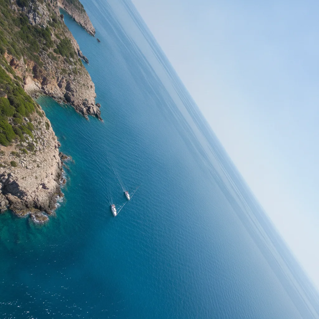
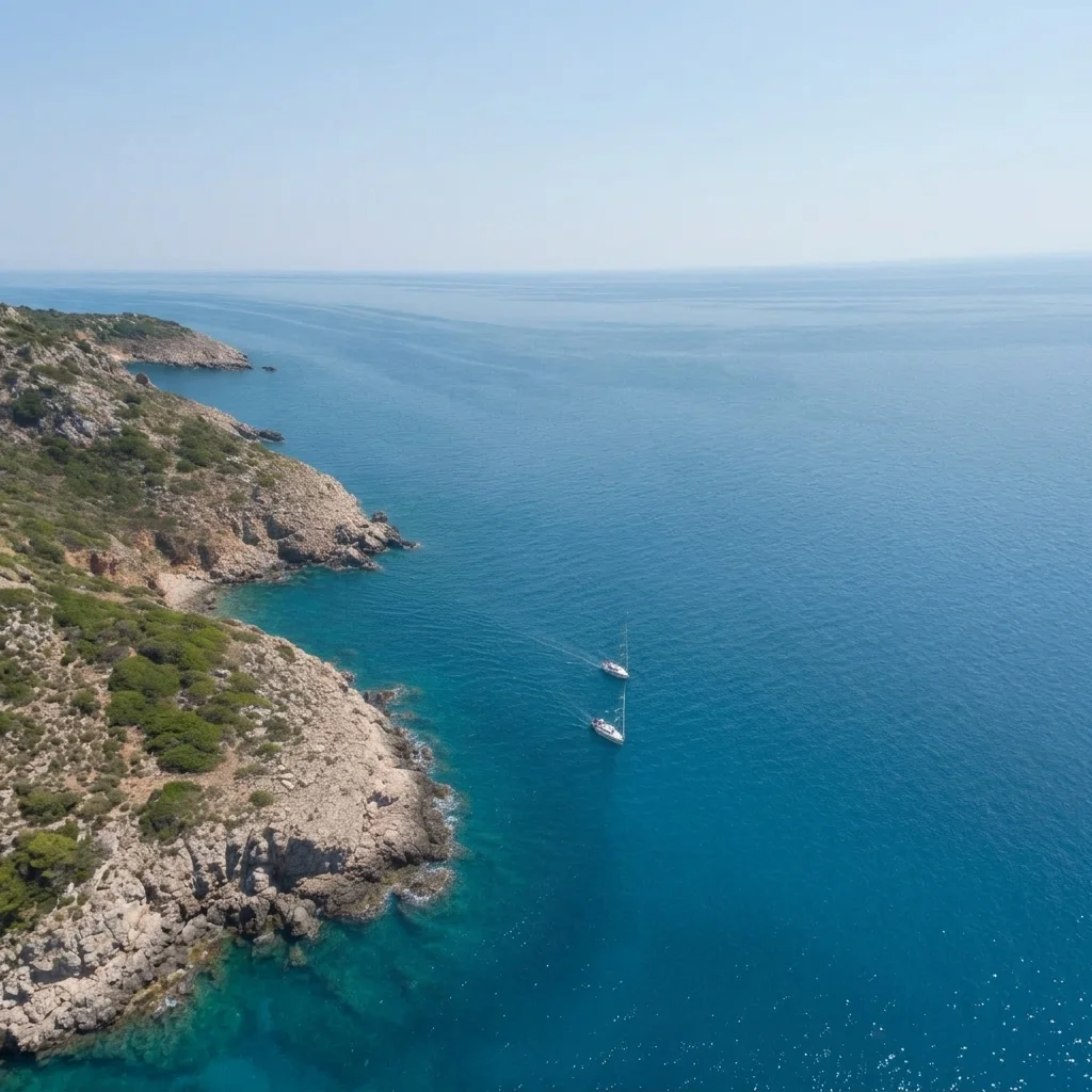
Drone photo with a clearly tilted horizon over the sea
Before
->
Same photo with a level horizon
After

Tilted horizon levelled over the sea

A drone photo with a sea horizon sloping noticeably to one side. The prompt makes it level.

Prompt: straighten the tilted horizon so the sea meets the sky in a level line, keep the boats and the coastline natural
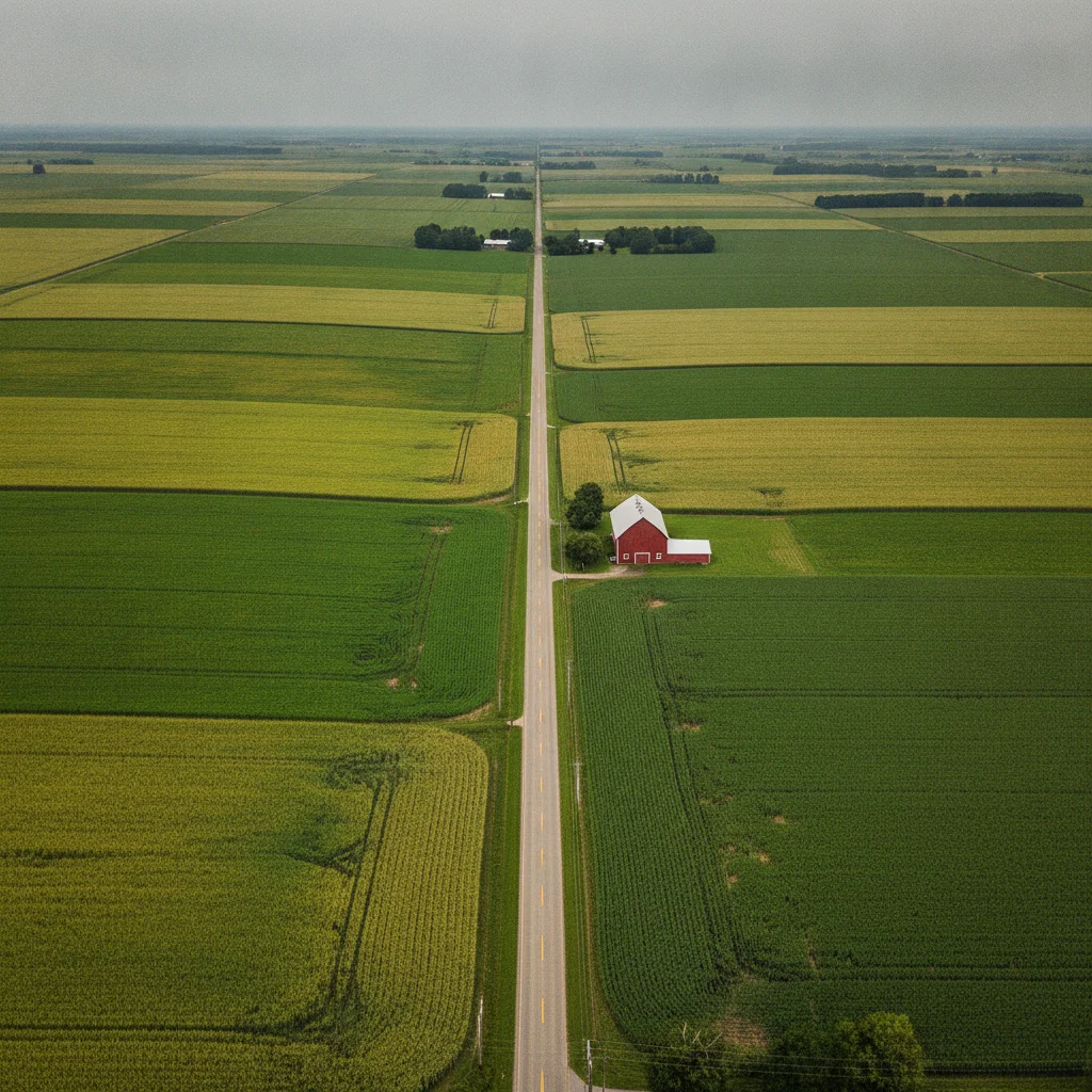
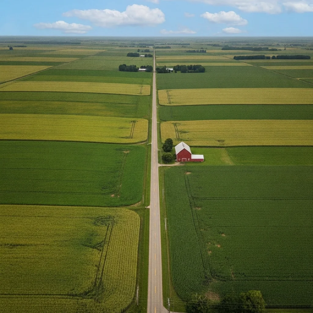
Aerial farmland photo under a flat grey sky
Before
->
Same fields under a clear blue sky with soft clouds
After

Dull sky over farmland replaced with blue

An aerial farm photo under a flat grey sky. The prompt brings in a clear blue sky.

Prompt: replace the dull grey sky with a clear blue sky and a few soft clouds, keep the fields, barns and roads unchanged

Quick answers

Do I need to mark the sky or land before enhancing a drone photo?

No. Describe it, like 'reduce the haze and level the horizon, keep the buildings unchanged.' The AI works on the picture as a whole. Markers are optional and help if it changes the wrong area.

Is there a free drone photo enhancer with no login?

Yes. Upload your aerial photo, describe the improvements and get a free preview edit with no signup and no watermark. Results are AI generated, so compare with your original.

Can it straighten a tilted drone horizon?

Yes. Ask it to level the horizon. Straightening may crop the corners a little, so check the edges before using the image.

Will it change the real landscape?

It aims to keep roads, buildings and shorelines as they are. Always include 'keep the buildings and roads unchanged' and compare the result with your original. For surveys or records, use the original.

Does it work for photos from a plane window or a hill?

Yes. Any high viewpoint with haze, flat colour or a dull sky can benefit. Glass reflections and heavy blur are harder to fix.

How much does EditThisPic cost?

You get 1 free Standard edit per week — no account needed. After that, one-time credit packs start at $4.99 for 10 credits, valid 12 months, no subscription. A Standard edit uses 1 credit, Pro 2 and Ultra 3. Purchased downloads are clean with no watermark.

Ready to enhance your drone photo?

Free to try. No signup required.

1 free edit included·paid credit packs after